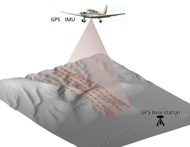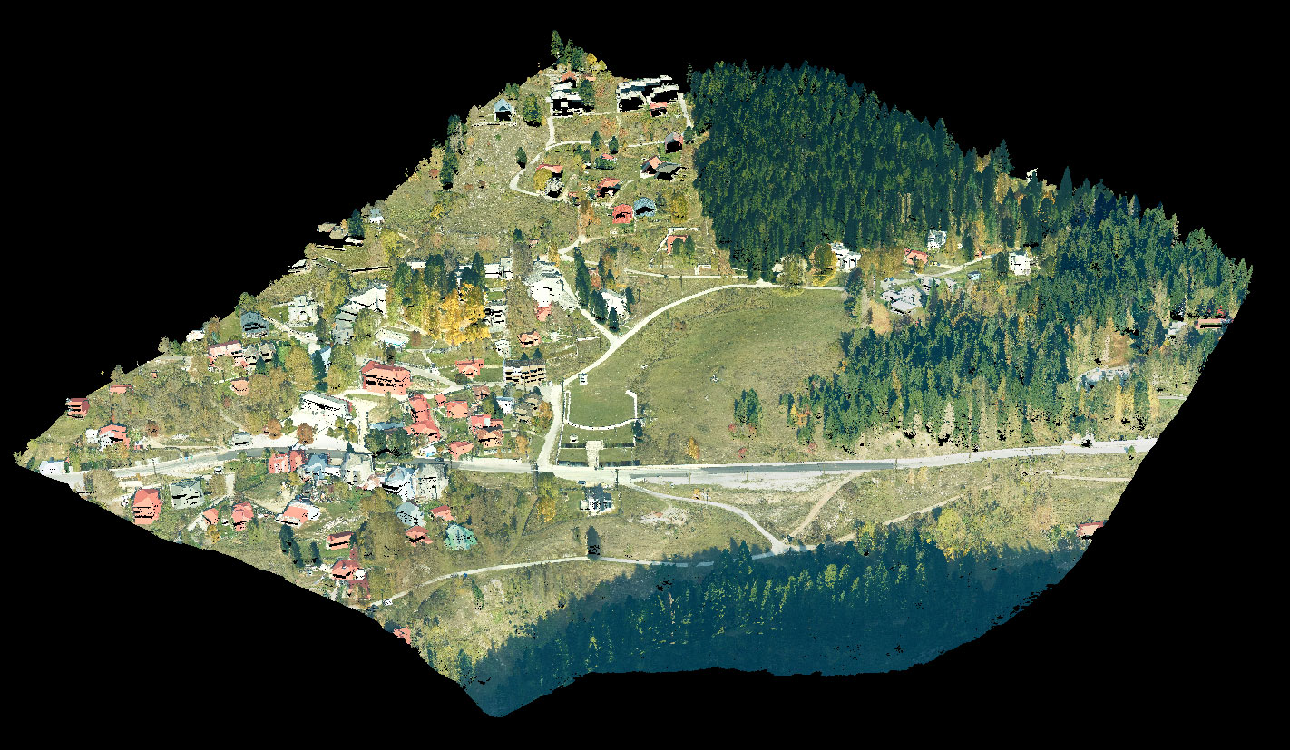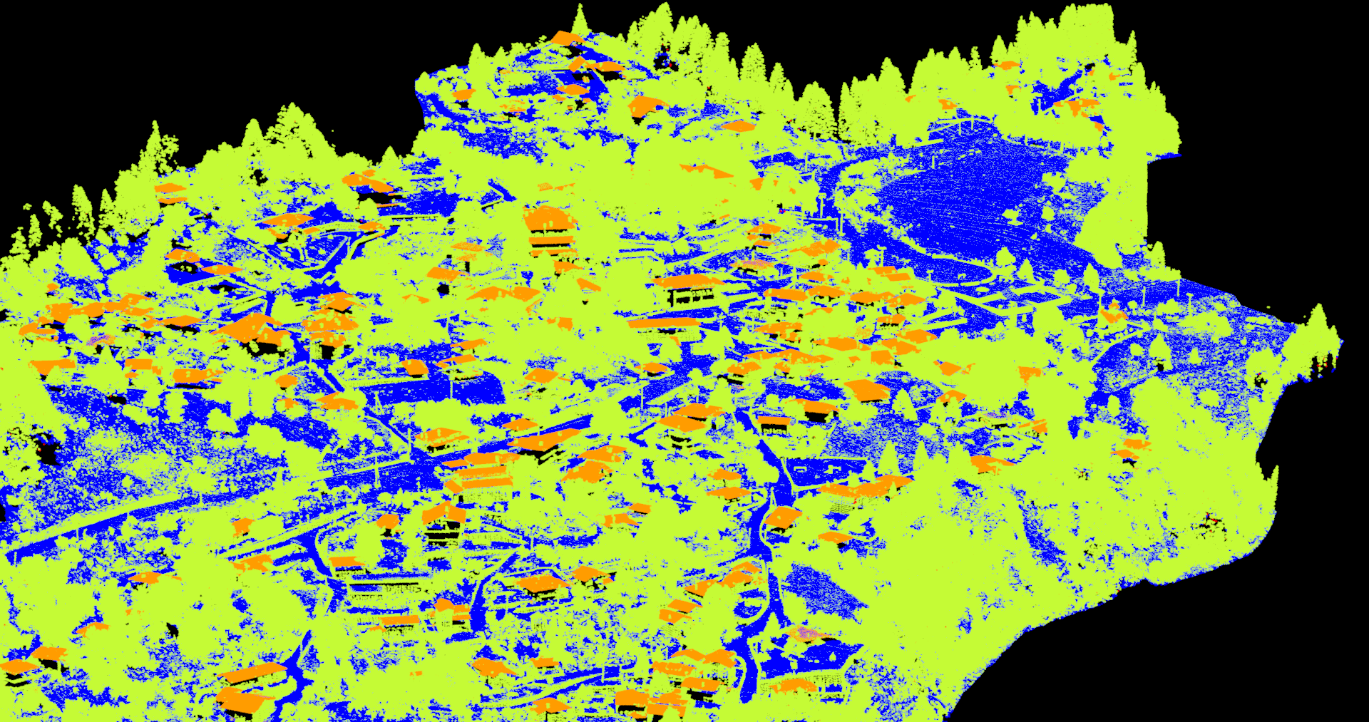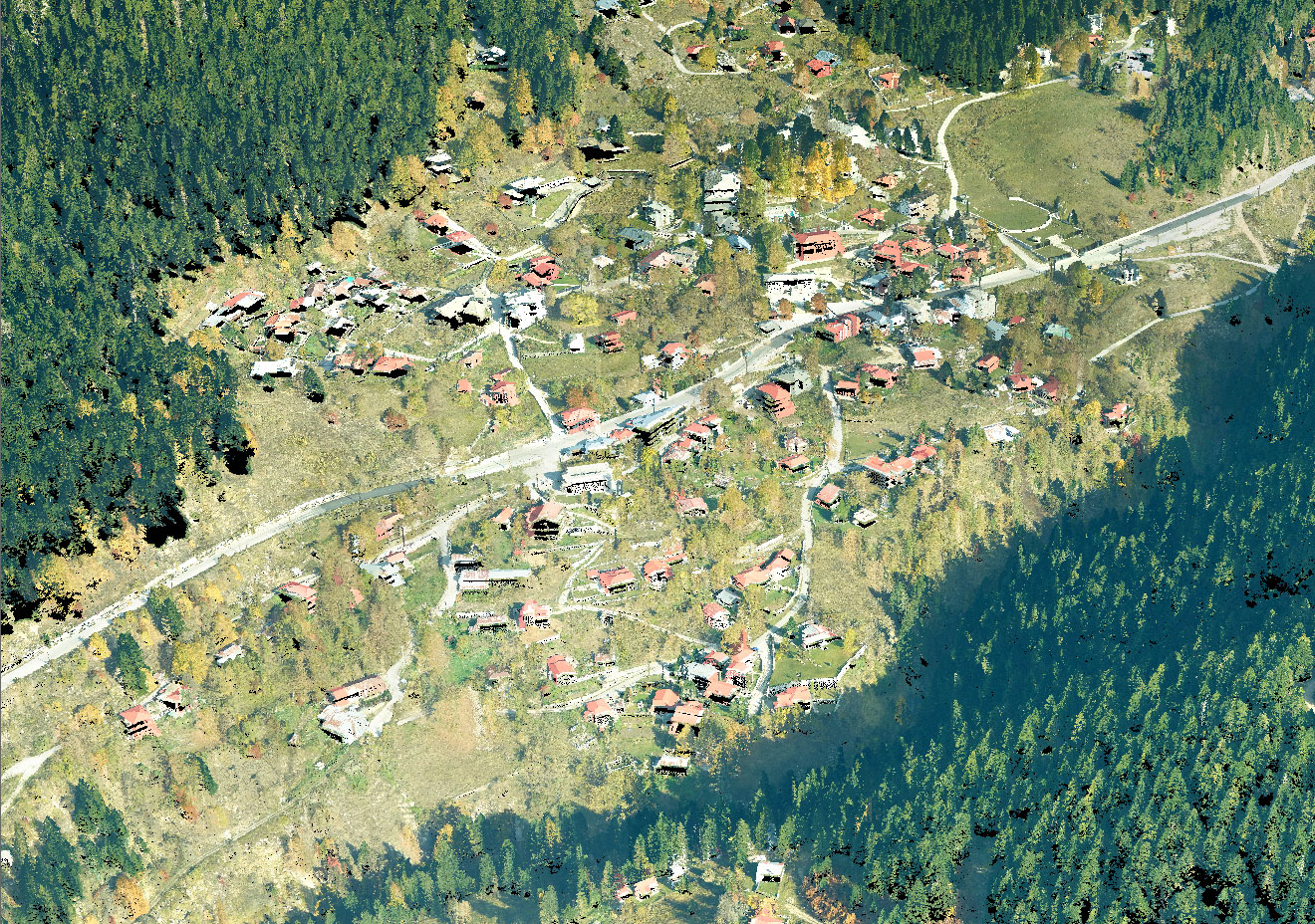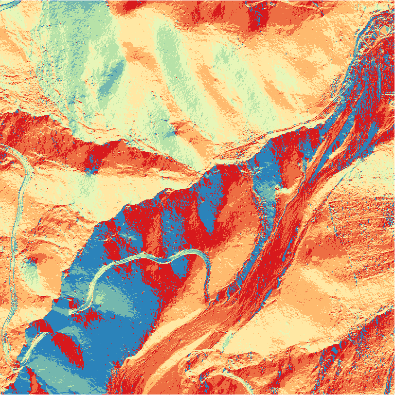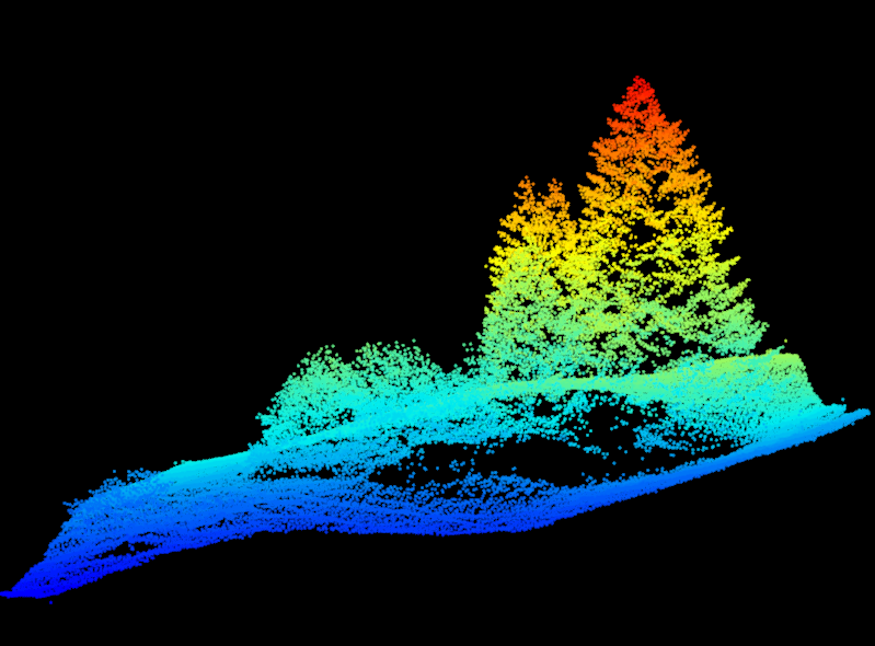
Pertouli Forest LiDAR Aerial Photography
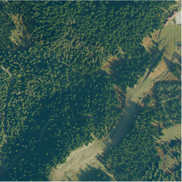
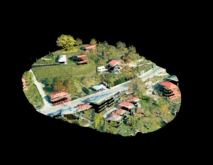
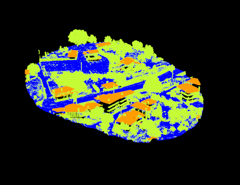
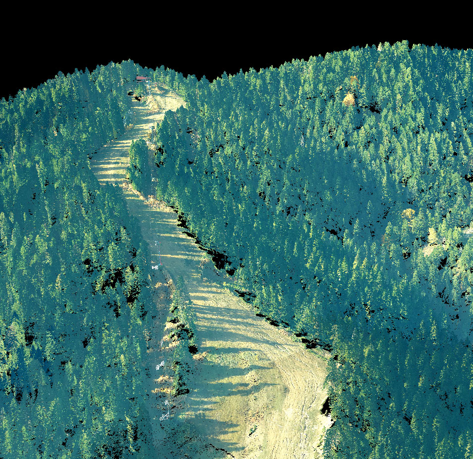
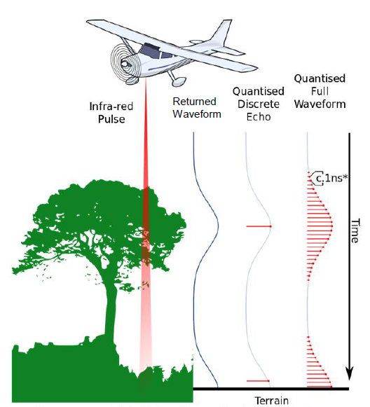
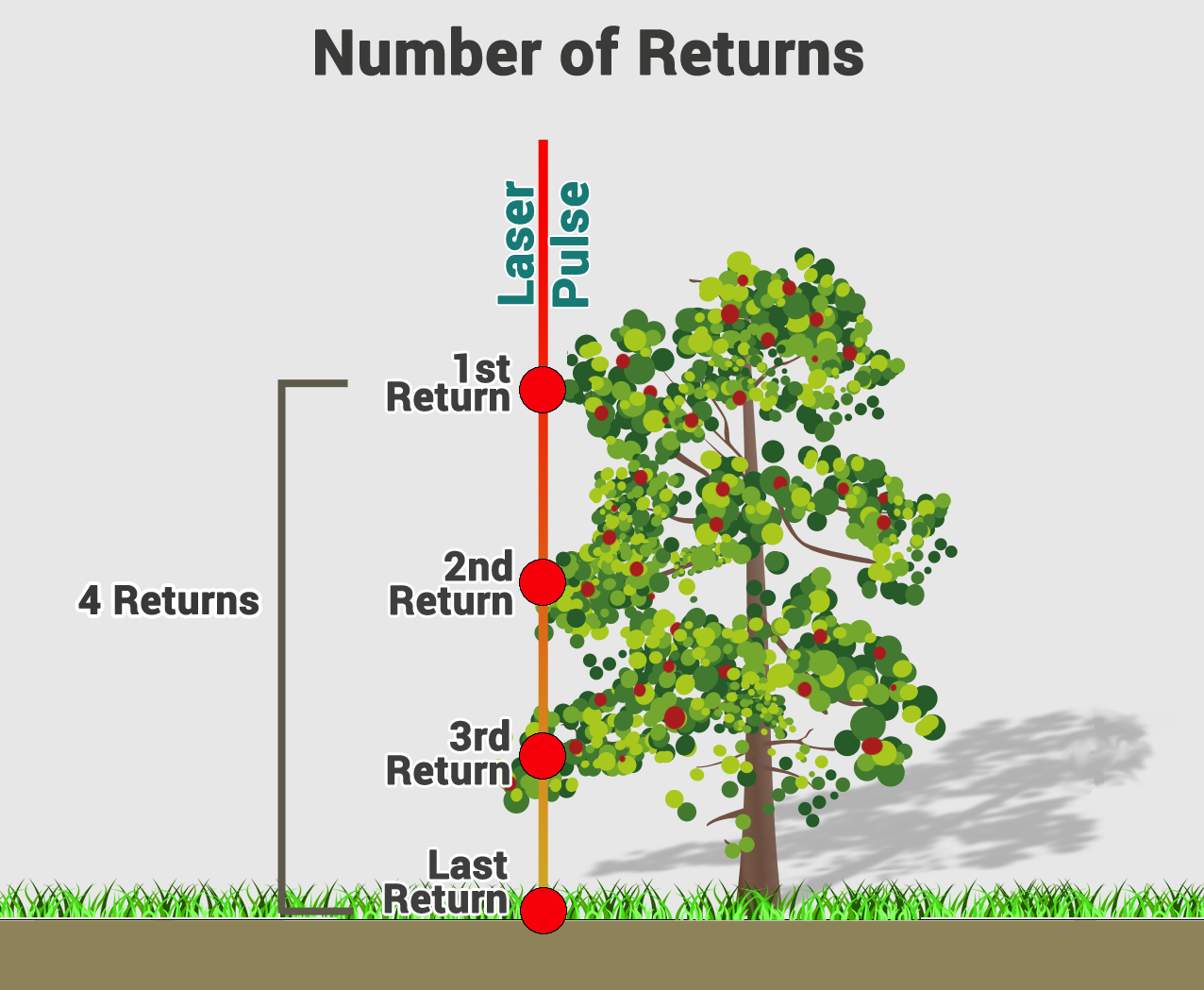
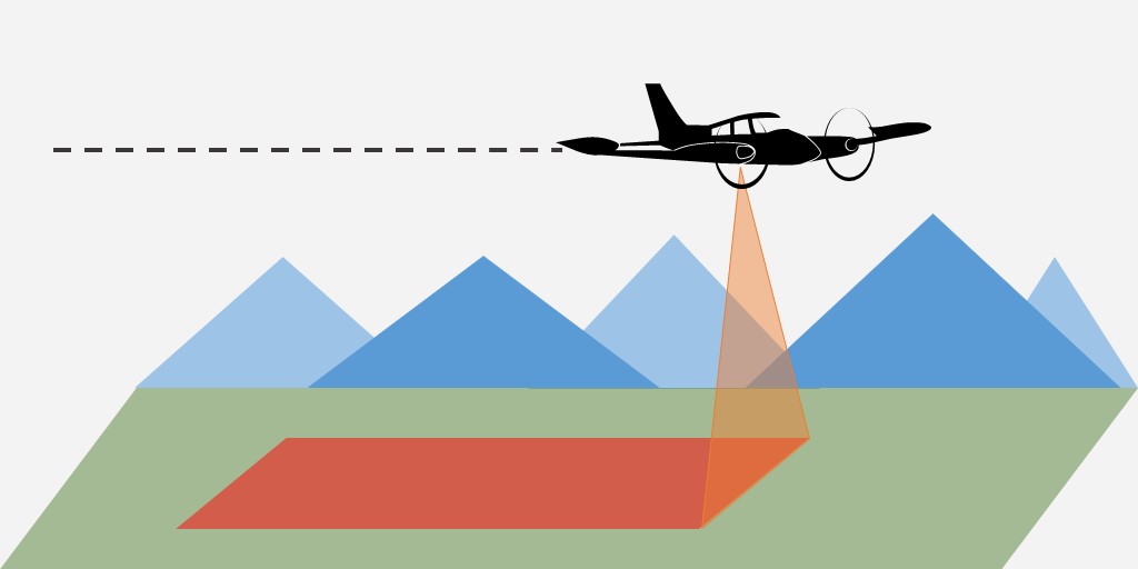
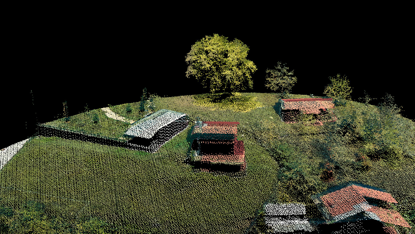
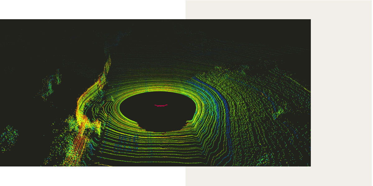
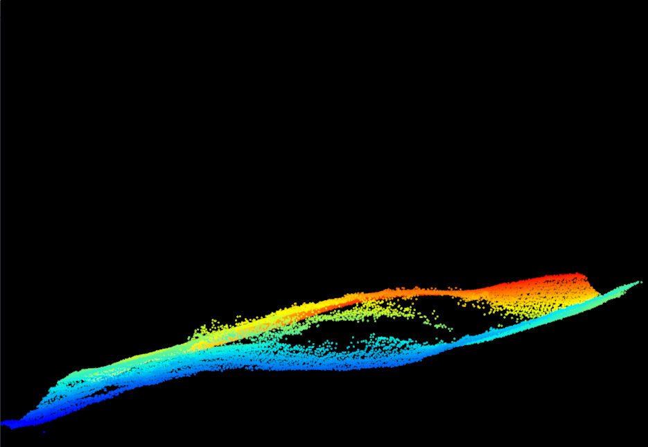
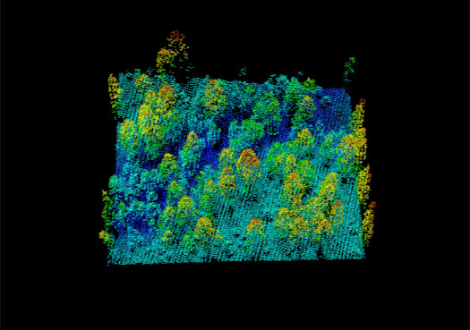
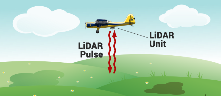
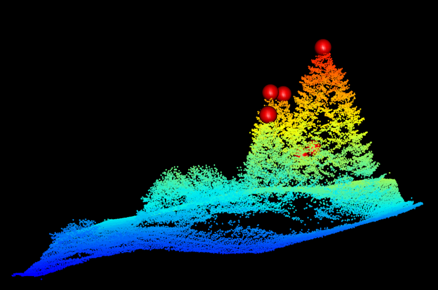
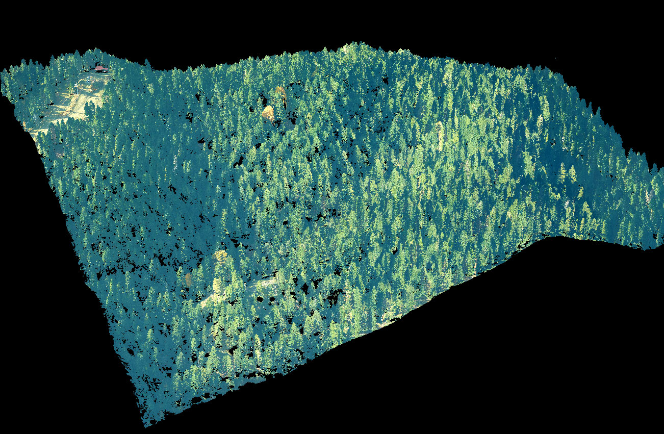
The aerial photography of the University Forest of Pertouli was carried out using the RIEGL VQ-1560i-DW sensor which provided color images of very high spatial resolution (RGB aerial photographs) in combination with the 3D cloud of very high density points (at least 60 points per square meter) .
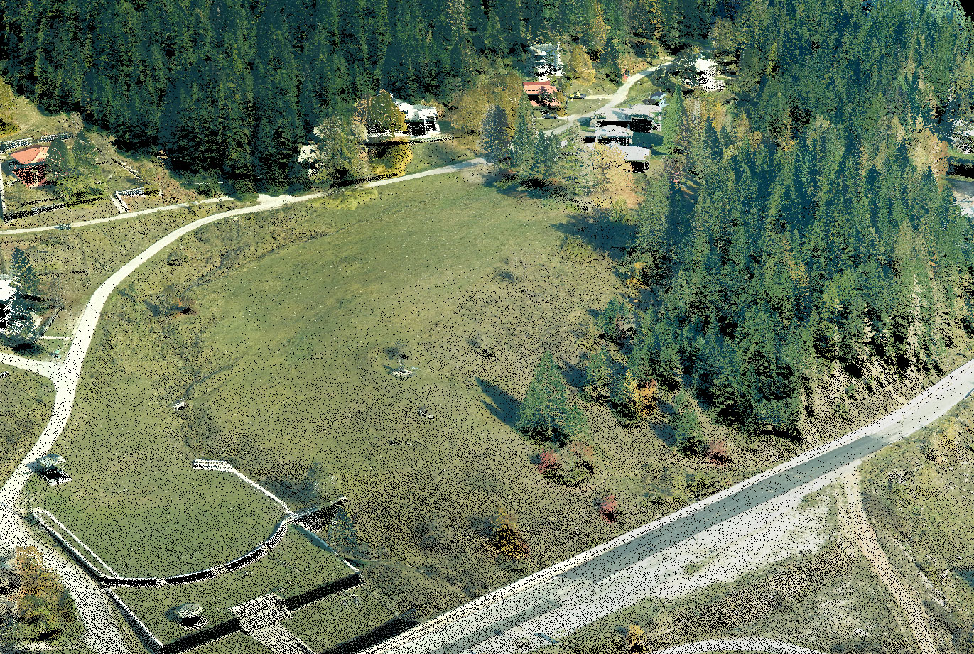
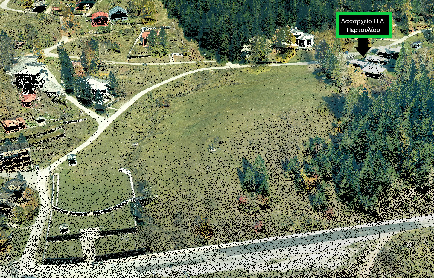
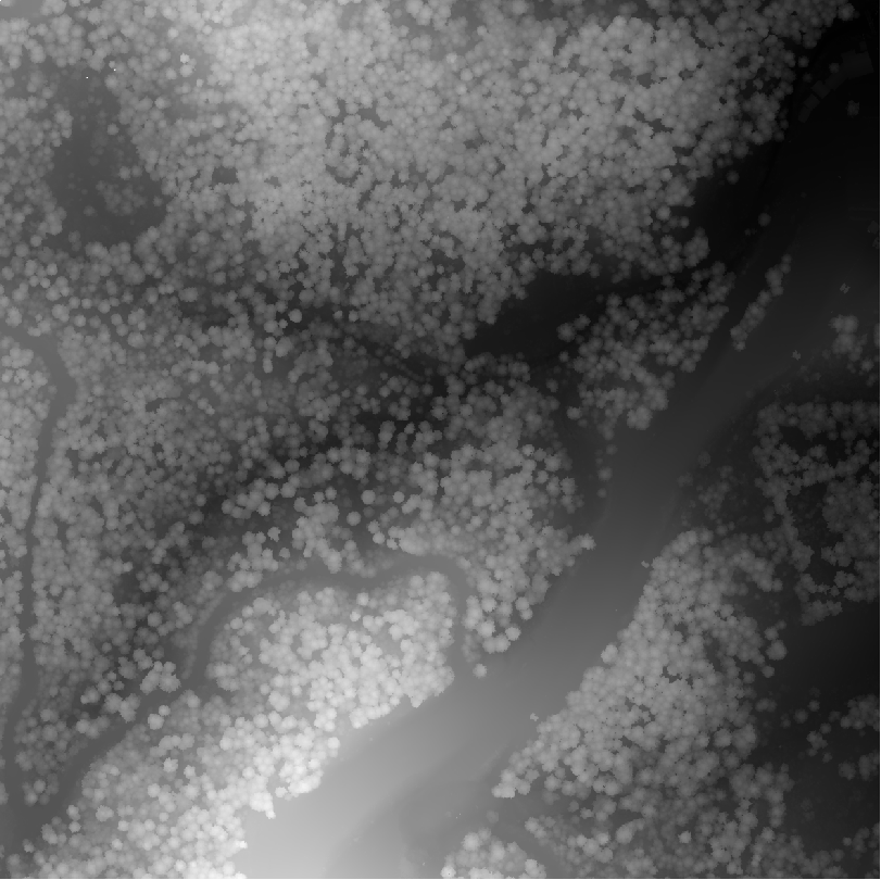
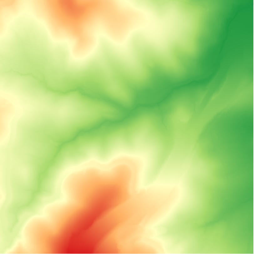
The color images cover the entire area of the University Forest of Pertouli. The total of this optical data consists of 477 consecutive and overlapping shots in digital format, with a spatial resolution of 2 cm. The above data are a key analysis tool in the production of thematic maps of primary importance for the preparation of management plans.
Contact us in order to access the newly edited and georeferenced orthophoto maps